14 Years of Aerial Intelligence
Aerometrics has spent over a decade refining the capabilities of aerial data. What began with custom-built platforms has evolved into a full-spectrum UK drone operation delivering mission-critical intelligence for the nation's most complex infrastructure.
Our journey spans the history of the modern drone industry. From the earliest days of custom-built aircraft to today’s state-of-the-art surveying systems equipped with radiometric thermal sensors and onboard AI. We combine aviation craftsmanship with advanced geospatial workflows to give Tier 1 clients clarity at scale.
Our team brings together pilots, engineers, and data analysts who share a singular obsession: turning complex environments into simple, actionable narratives. We combine traditional aviation discipline with modern data pipelines so every project benefits from experience, precision, and purpose.
From Above, We See More
Blending aviation expertise with cutting-edge data workflows to elevate projects across the UK.
Where Innovation Meets Reliability
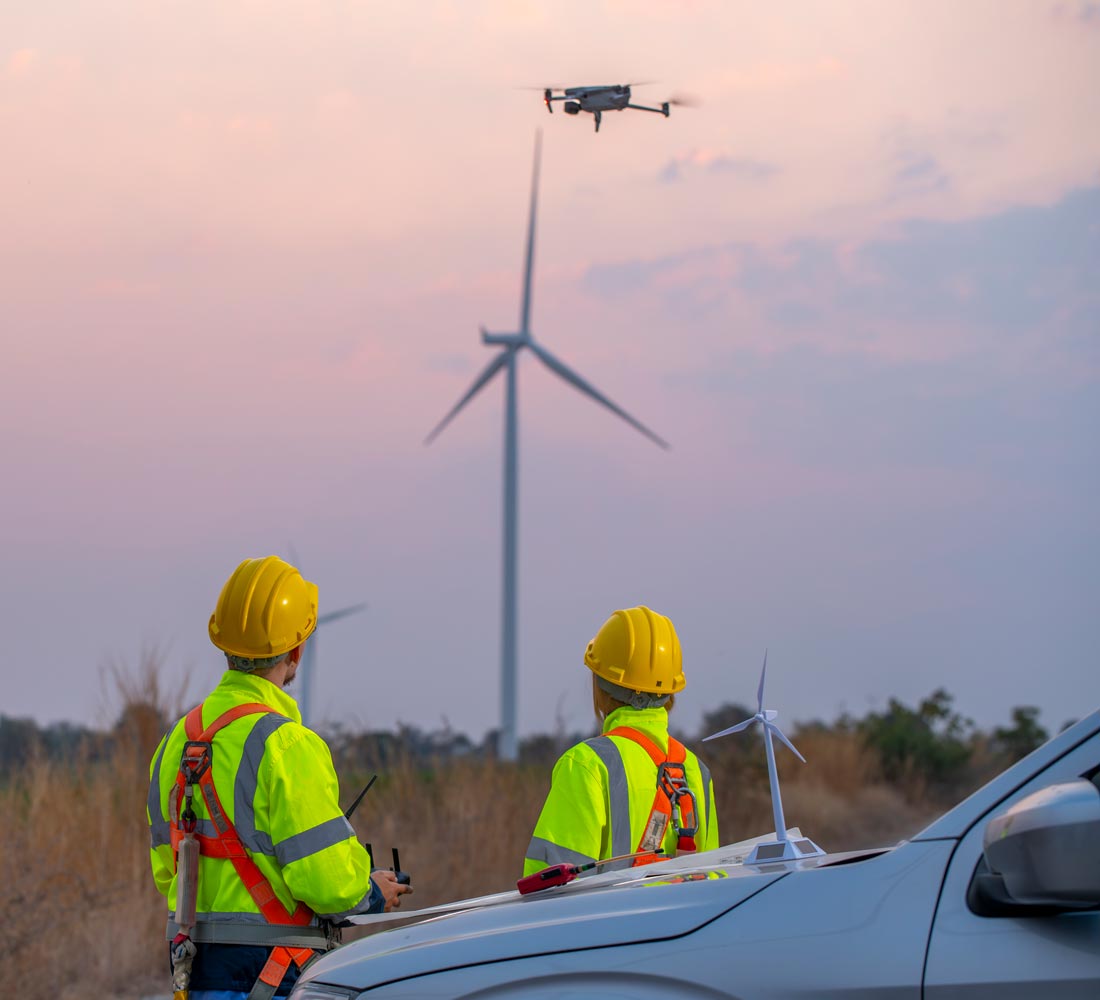
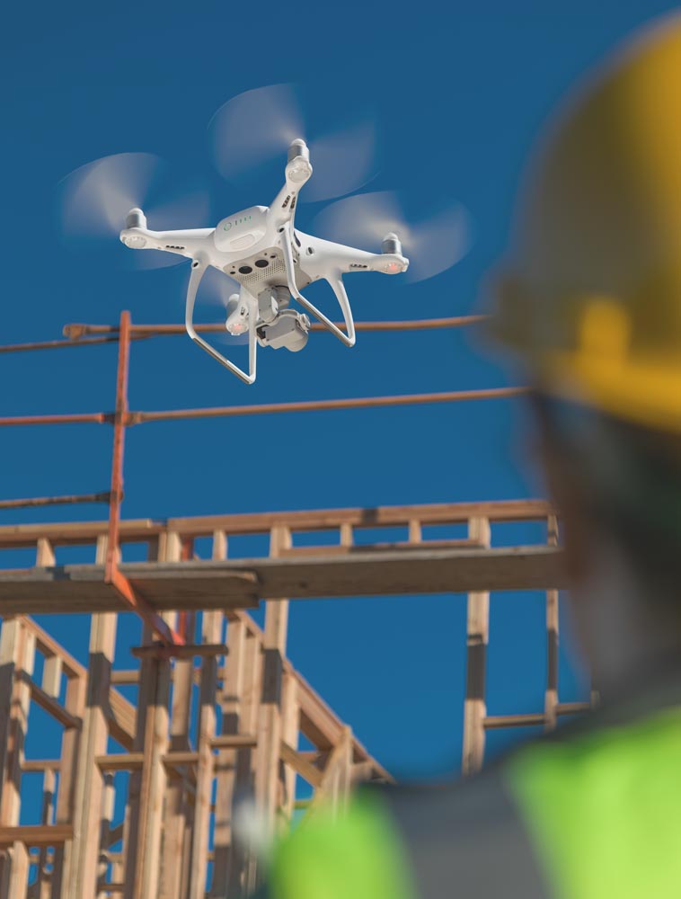
Our approach has always balanced creativity in aerial capture with the discipline required for dependable industrial delivery. Innovation is foundational, but reliability is what our clients depend on. From complex highway survey corridors to high-pressure rail inspection windows, we design every flight around safety, repeatability, and outcome.
That means using the right platform for the job, integrating AI-driven detection, thermal anomaly scouting, and real-time data validation, all while adhering to rigorous airspace compliance and data security standards.
- CAA certified and fully insured for complex commercial operations
- GVC and A2 CofC qualified operators with an Operating Safety Case (OSC) background
- Secure data handling, adaptive delivery pipelines, and GDPR-aligned workflows
Built for Results, Backed by Experience
Fourteen years in the drone industry means we have seen technology shift, regulation evolve, and expectations rise. We have responded by building capability from the ground up: mastering multi-sensor fusion, thermal diagnostics, and embedded AI to deliver context, not just content.
We remain a focused team with national reach, bringing hands-on technical depth and an understanding of how aerial data sits inside wider project decisions. Our work is not about flashy visuals for their own sake; it is about delivering insight that drives progress, reduces risk, and tells the story that stakeholders need.
- Over a decade of operation across surveying, rail, highways, and conservation
- Trusted by public agencies, Tier 1 contractors, and private enterprises
- Agile, responsive, and technically rigorous in every delivery phase