Council Drone Services for UK Local Authorities
CAA compliant aerial data and inspections supporting highways, asset management, planning and public safety programmes
Drone Services for Councils
Aerometrics provides CAA compliant drone services for UK councils and local authorities, helping teams capture accurate, repeatable data without disruption. We support highways, planning, housing, estates and community safety programmes with rapid on-site surveying and inspection.
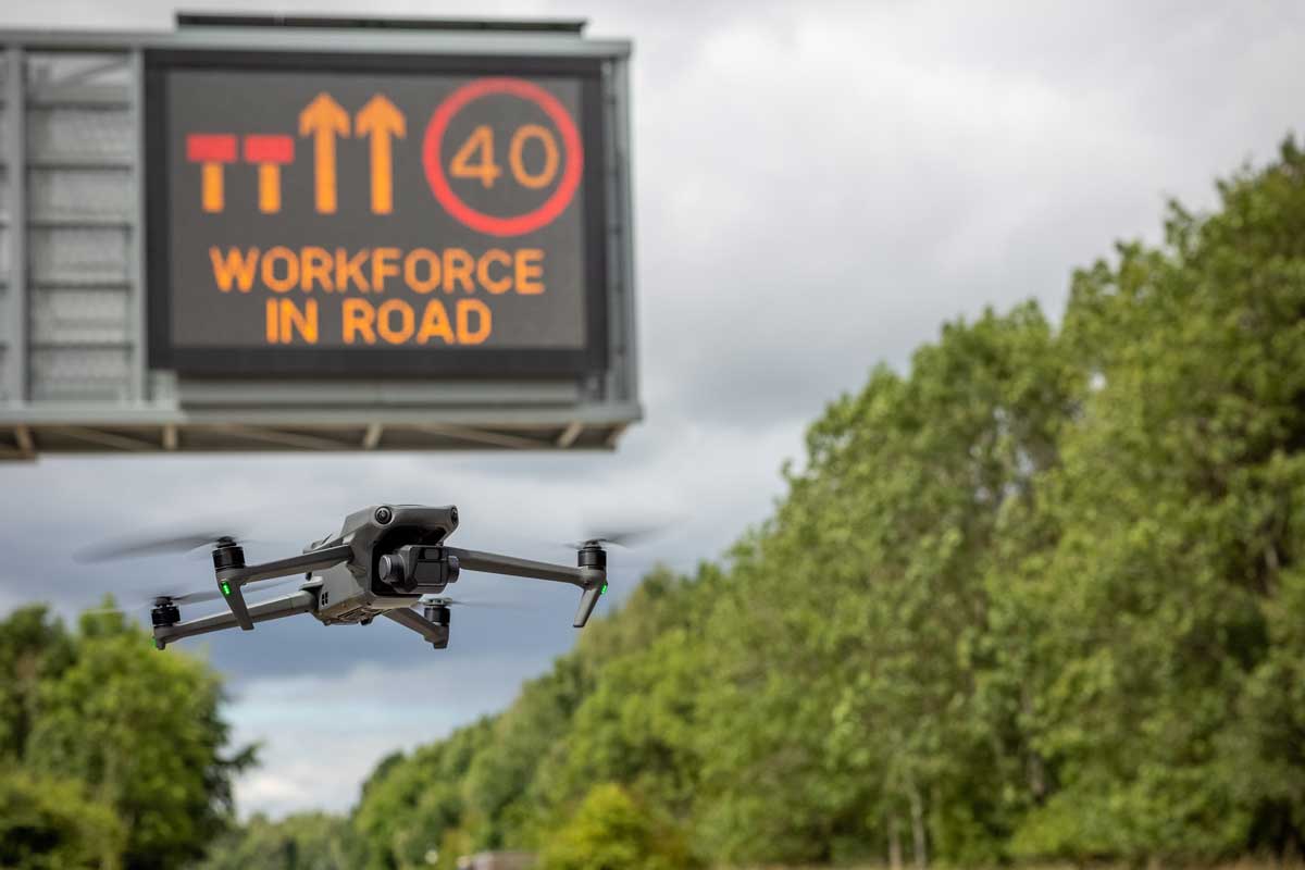
From highway condition surveys and traffic studies to road marking checks and asset inspections, we reduce the need for manual access methods and shorten programme timelines. Deliverables can be supplied as high-resolution imagery, video, mapped outputs and structured reporting for audit-ready records.
We also provide clear aerial media for public engagement, consultations and stakeholder updates, helping residents understand projects, constraints and progress through simple, visual evidence.
Our work is designed for public sector requirements, with documented planning, risk controls and a focus on safe operations around live environments.
Defensible Evidence for Asset Management
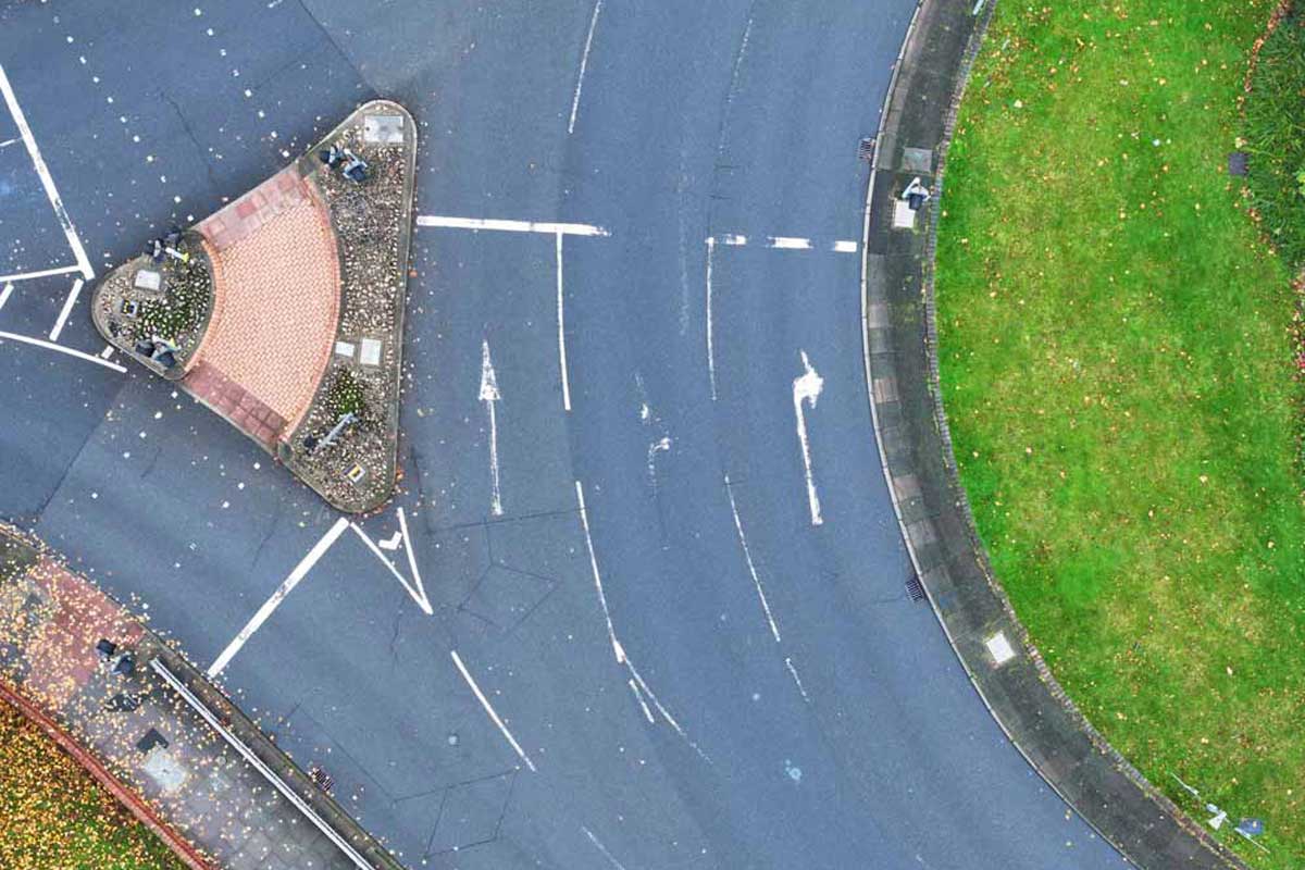
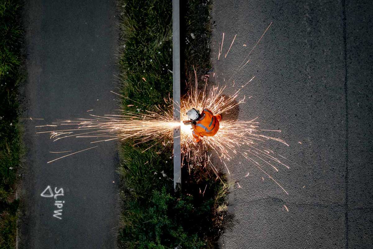
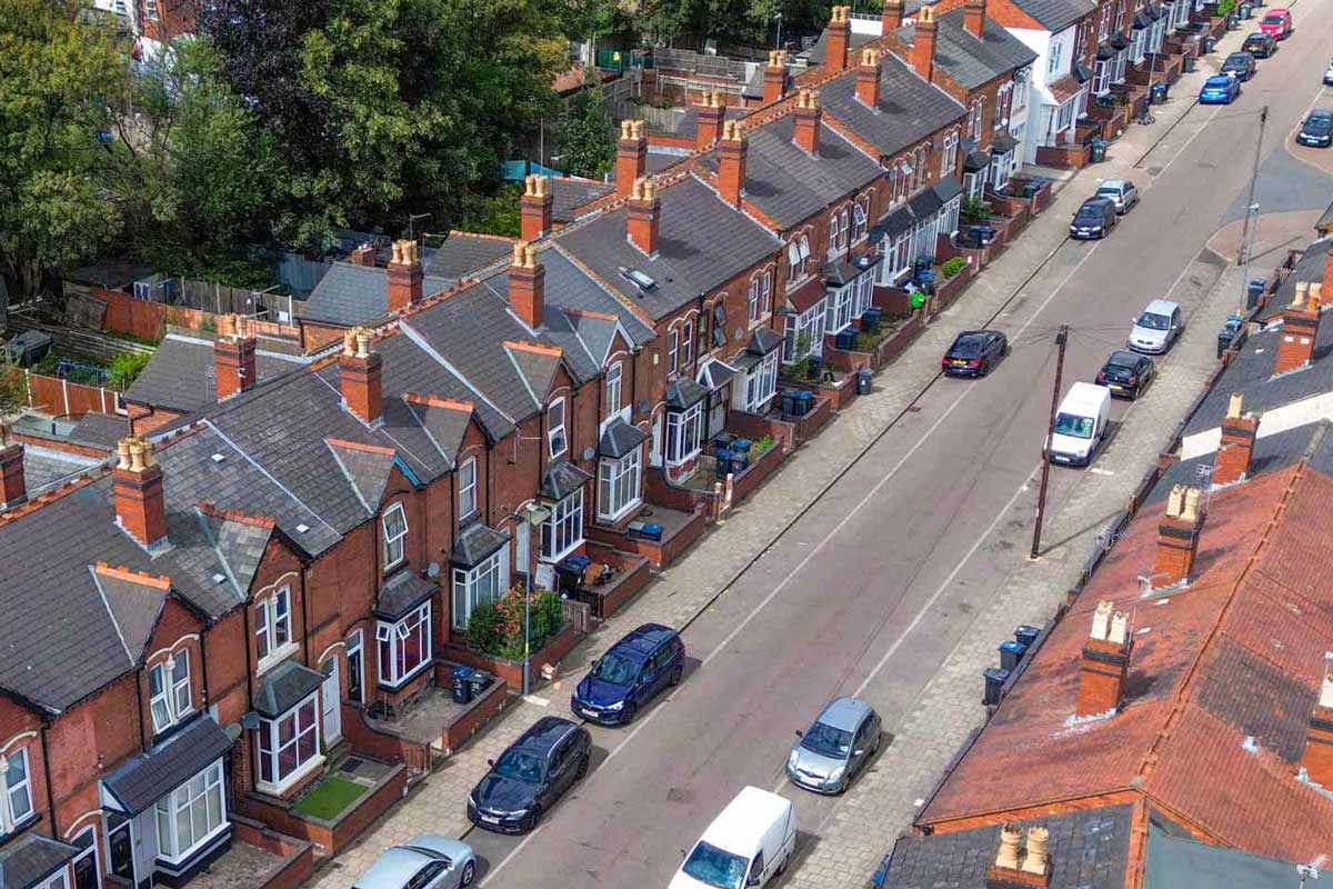
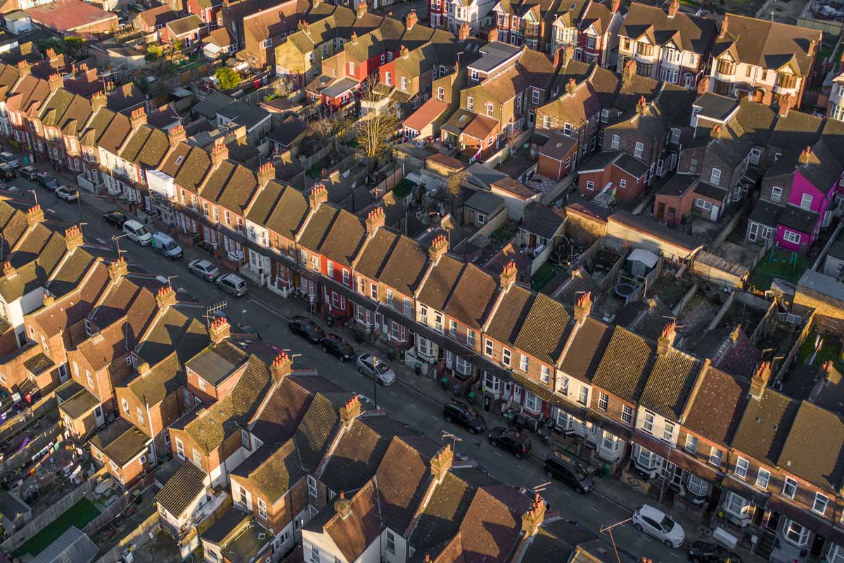
Aerometrics provides local authorities with high-resolution visual intelligence to support data-driven highways maintenance. We specialise in rapid aerial capture of road marking degradation, surface wear, and street furniture condition, giving asset managers the granular evidence needed to prioritise capital spend and justify maintenance programmes.
Beyond simple visibility, our drone surveys capture traffic flow dynamics and pinch-point data without the need for intrusive lane closures or expensive traffic management. By reducing site risk and public disruption, we provide a repeatable, cost-effective framework for statutory reporting and long-term infrastructure planning.
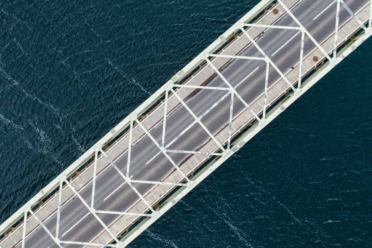
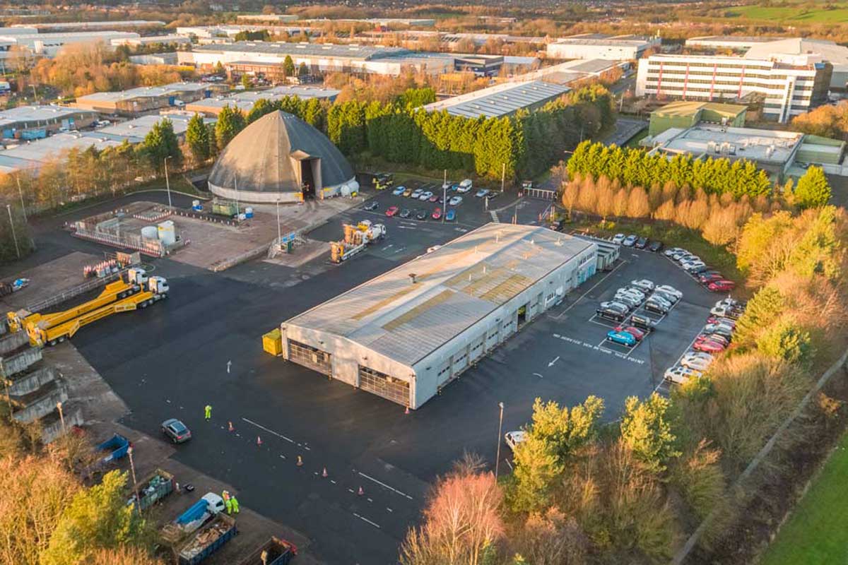
Structures and Public Realm Monitoring
For bridges, public buildings and street furniture, we provide high-resolution capture designed for condition tracking over time. This supports early identification of change, programme planning and targeted follow-up without defaulting to heavy access measures.
Outputs are delivered in formats that work for council workflows, including annotated imagery, location-referenced captures and simple reporting that can be stored against an asset record.
Asset Register Updates and Maintenance Planning
Councils manage large portfolios across highways, housing and the public realm. We help keep records current through repeatable aerial capture, giving teams up-to-date visual evidence to support budgeting, prioritisation and planned maintenance.
This approach improves consistency across sites and reduces reactive call-outs by highlighting deterioration trends early, so maintenance can be scheduled rather than rushed.
Council and Public Sector Drone Services
CAA compliant aerial data supporting highways programmes, public realm monitoring and planning evidence with minimal disruption.
Our Council Drone Services
Practical aerial services for councils, built around safe operations, clear deliverables and documented planning.
Asset Condition Evidence
High-resolution imagery and video for roofs, structures and hard-to-access assets, supporting prioritisation, planned maintenance and audit trails.
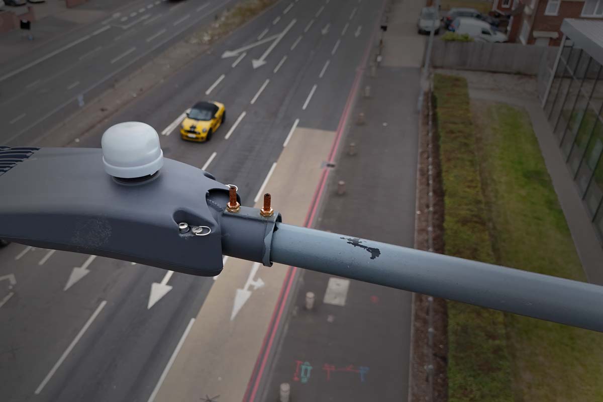
Highways and Traffic
Corridor capture, junction evidence and works monitoring designed to reduce disruption and improve planning decisions.
Public Communications
Clear aerial photography and video for consultations, resident updates and project communications that reduce confusion and increase engagement.
Community Engagement
Visual updates that help residents understand projects, timelines and constraints, improving transparency and reducing inbound queries.

Programme Documentation
Progress capture for public works, road upgrades and capital projects, supporting reporting, stakeholder updates and communications.
Proud To Work With
Library Footage and Communications
We help councils build a consistent library of aerial imagery and video to support communications, public updates and programme visibility. Content can be used across websites, consultations, reports and press releases.
Capture is planned to reflect real environments accurately, supporting clear messaging and long-term reuse without repeated site visits.
Frequently Asked Questions
- What makes Aerometrics suitable for council work?
- Our operations are planned specifically for live, public environments. This includes documented risk assessments, clear separation strategies and experience working around highways, housing and public spaces.
- Do you work with both county and local authorities?
- Yes. We support county, district and borough councils across a range of programmes including highways, estates, planning evidence and communications.
- What if our requirement does not fit a standard service?
- Many council requirements are unique. We start with the objective and constraints, then design a drone-based approach that fits operational, safety and governance needs.
Support smarter decisions for your community
Get In Touch
Whether you're interested in our drone services or have questions about how we can help with your specific project, our team is ready to assist you.
Call Us
Monday–Friday, 9am–5pm
Visit Us
By appointment only