Bird and Wildlife Drone Surveys
Low-disturbance drone surveys of birds, deer and other wildlife across the UK, using thermal detection, visual verification and mapped outputs to support ecology, density assessment, species discovery and practical action from the data.
Bird and Wildlife Surveys for Ecology, Discovery and Population Insight
Detection. Identification. Counting.
Aerometrics delivers drone wildlife surveys that help estates, ecologists, conservation teams and land managers understand what is present, where it is distributed, and what the data means in practical terms. Our work is built around reliable detection, confident identification and structured counting, giving clients far more than simple aerial imagery.
Thermal and high-zoom drone workflows are particularly effective where wildlife is difficult to observe consistently from the ground. Whether the objective is deer density, bird activity, wild boar detection, marine wildlife observation or broader ecological discovery, surveys are planned to reduce disturbance while improving coverage, repeatability and decision-making value.

Detection, Identification and Counting Across Varied Terrain
Wildlife surveys are only useful when they move beyond vague sightings. Aerometrics uses thermal detection and visible-spectrum verification to locate animals more reliably, confirm species with greater confidence and produce structured count data that can support ecology, land management and conservation planning.
This approach is well suited to species that are difficult to assess consistently from the ground, particularly in broken terrain, woodland edges, wetlands, coastal zones and remote estates. It also helps reveal density patterns, movement corridors and hotspots that may otherwise go unnoticed.
- Thermal detection for improved wildlife location and coverage
- Visual verification for stronger species identification
- Structured counting with mapped distribution context
- Outputs that support reporting, planning and positive action
Wildlife Data That Leads to Action
From density assessment and species discovery to repeatable counts and mapped evidence, surveys are built to help clients act on what they find.

Bird Surveys, Distribution Mapping and Ecology Support
Drone wildlife surveys can also support bird monitoring, nesting area observation, distribution checks and broader ecological review where low-disturbance capture is important. Aerial perspectives help reveal patterns in habitat use, congregation areas and site pressure that are difficult to understand from ground access alone.
When combined with repeat visits, this creates a more usable picture of change over time. That may include shifting activity areas, seasonal concentration, habitat preference or the effect of management decisions already in place.
- Bird activity and distribution observation
- Repeat surveys for trend comparison over time
- Mapped outputs for reporting and ecological review
- Practical workflows designed to minimise disturbance

Marine Wildlife Observation and Wider Conservation Value
The same principles apply beyond estates and woodland. Drone wildlife surveys can support marine and coastal conservation work by improving visibility over large areas, helping detect animals, observe behaviour, and document distribution with minimal intrusion.
Whether the subject is dolphins, coastal birdlife, wild boar, deer or broader species discovery, the real value lies in producing evidence that is useful. Aerometrics focuses on data that can feed into density assessment, conservation priorities, management planning and future monitoring rather than capturing imagery with no clear next step.
- Support for coastal and marine wildlife observation
- Evidence gathering for conservation and management decisions
- Broad area visibility with reduced ground disruption
- Clear outputs designed to inform next actions
Deer Survey Case Study
A large-scale Highland example showing how thermal detection, visual verification and off-grid field operations can produce a reliable and defensible deer count.
Glen Dessary Deer Survey
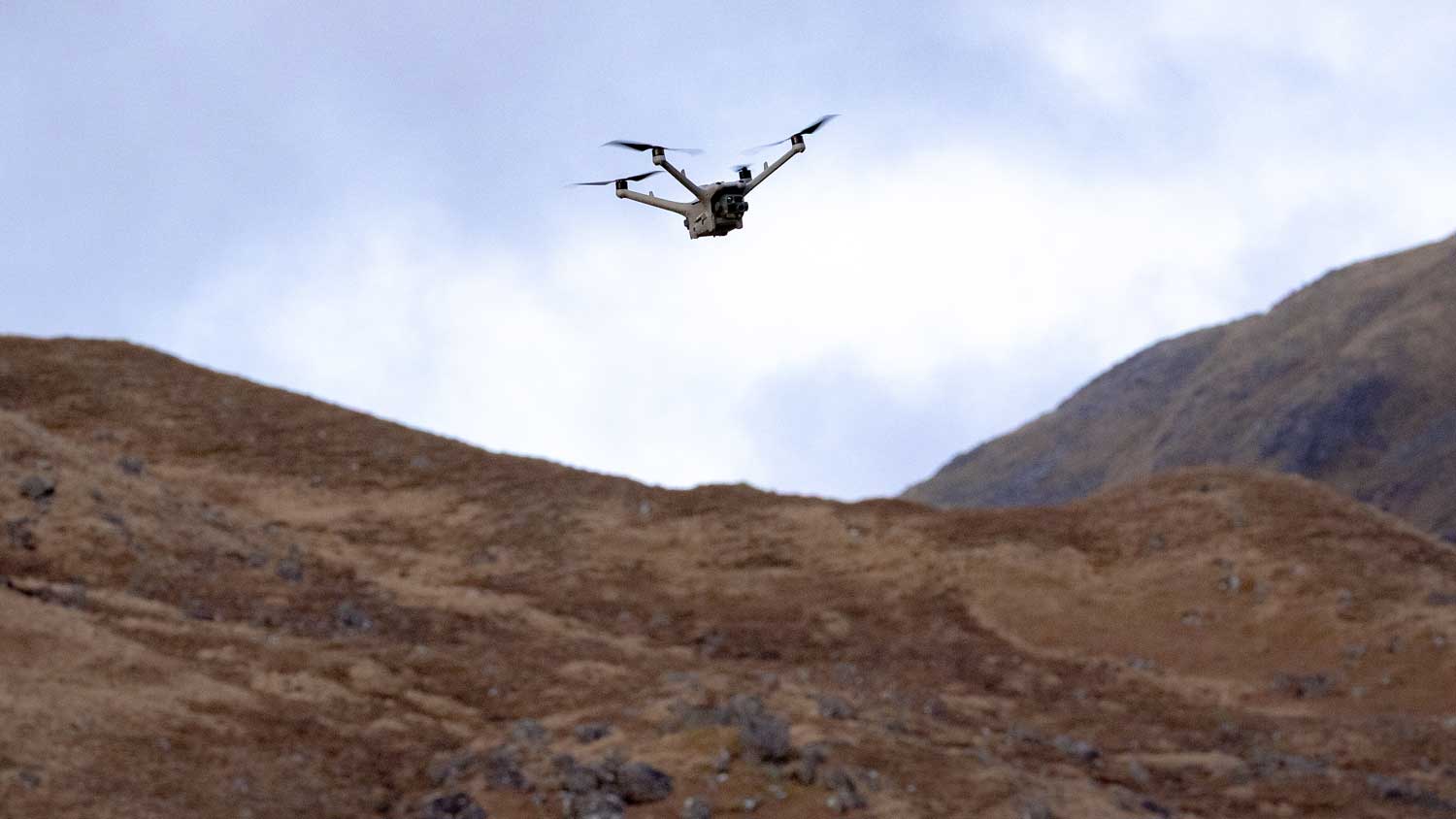
Aerial deer surveying across Glen Dessary, Glen Pean and Glen Ahurran in the Scottish Highlands, using thermal detection and long-range verification to deliver a structured, repeatable count in difficult terrain. Read the full case study.
| Coverage | 15,000 acres across 3 glens |
| Count | 740+ deer identified |
| Method | Thermal detection + 120x zoom verification |
| Range | 300 to 500m identification |
- Structured count outputs for land management
- Low-disturbance workflow in remote terrain
- Off-grid field operations with live connectivity
- Practical example of decision-ready survey data
Why Choose Aerometrics for Drone Wildlife Surveys
Purpose-built aerial wildlife surveys focused on reliable counting, mapped evidence and practical outputs that support ecology and conservation decisions.
Counting With Context
Surveys are designed to produce structured counts and mapped distribution rather than disconnected wildlife sightings.
Low-Disturbance Capture
Flight heights, routing and timing are planned to reduce behavioural impact while maintaining useful detection and coverage.
Detection and Verification
Thermal search and visual confirmation combine speed with stronger identification confidence across varied environments.
Repeatable Methodology
Consistent survey routes and comparable capture conditions support trend analysis rather than one-off assumptions.
Ecology-Friendly Outputs
Data and mapping can be supplied in formats that support reporting, review and wider ecological interpretation.
Useful, Actionable Reporting
Deliverables are built to help clients make decisions on density, distribution, monitoring priorities and next actions.
Drone Wildlife Survey FAQs
- What kinds of wildlife can drone surveys help detect and count?
- Drone surveys can support the detection, identification and counting of a wide range of wildlife, including deer, birds, wild boar and some marine species, depending on terrain, conditions and survey objectives.
- Are drone wildlife surveys suitable for ecology and conservation work?
- Yes. They are particularly useful where you need better visibility, mapped evidence and repeatable observations without relying entirely on time-intensive ground coverage.
- Can you provide density and distribution insight rather than just sightings?
- Yes. Surveys are designed to produce structured outputs that show where animals are concentrated, how they are distributed across a site, and where repeat monitoring may be useful.
- Do drone surveys disturb wildlife?
- Disturbance is managed through altitude, route planning, timing and efficient capture. The aim is to observe and record wildlife activity, not alter it.
Turn wildlife observations into usable evidence
Get In Touch
If you need wildlife survey data for ecology, conservation planning, species monitoring or land management, get in touch with details of the site, target species and survey objectives. We will advise on timing, approach and likely outputs before providing a clear quote.
Call Us
Monday–Friday, 9am–5pm
Visit Us
By appointment only