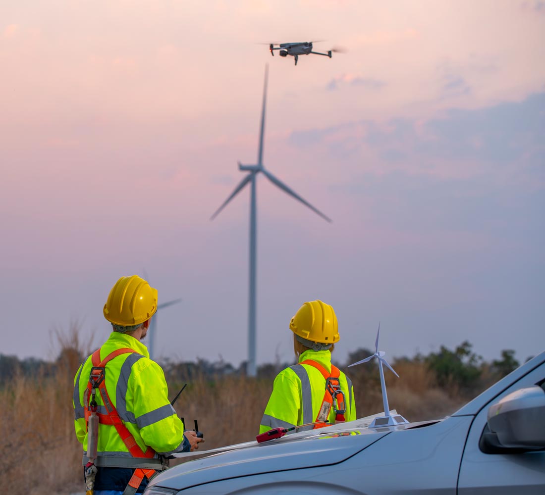
Our Equipment
Equipped for Precision
At Aerometrics, our investment in industry-leading drone platforms and payloads ensures that every job is completed with the highest level of precision, safety, and efficiency. From RTK mapping to thermal inspections, we deploy the right tools for every mission.
Whether we’re flying over construction sites, infrastructure, or open terrain, our fleet and sensors are selected for reliability, endurance, and data quality - giving our clients results they can act on.
Our Drone Fleet
RTK survey platforms, thermal payloads and high-resolution cameras matched to your brief.
DJI Enterprise Platforms
Our primary fleet includes DJI’s flagship enterprise drones, such as the Matrice 4TD and Matrice 4E, trusted for their stability, redundancy, and modular payload compatibility.
With flight times of up to 50 minutes and robust wind resistance, we can cover larger areas efficiently, while maintaining the safety and precision standards required for complex environments.
- DJI Matrice 4TD and Matrice 4E
- Up to 50-minute endurance per battery set
- Redundant systems and obstacle avoidance
- Real-time kinematic (RTK) georeferencing
Advanced Payloads & Sensors
Our drones are equipped with interchangeable payloads including high-resolution RGB and thermal infrared sensors, enabling us to adapt to the unique data needs of each project.
We deliver precision photogrammetry, accurate volume measurements, and thermal assessments all from the air, helping clients reduce downtime and capture results that matter.
- 20MP mechanical shutter mapping cameras
- Radiometric thermal sensors (640x512)
- Long-range zoom cameras for safe standoff inspection
- RTK and PPK integration for survey-grade accuracy
